Spatial Statistics
Research Group
Welcome to the website of the research group of spatial statistics of the Public University of Navarra.

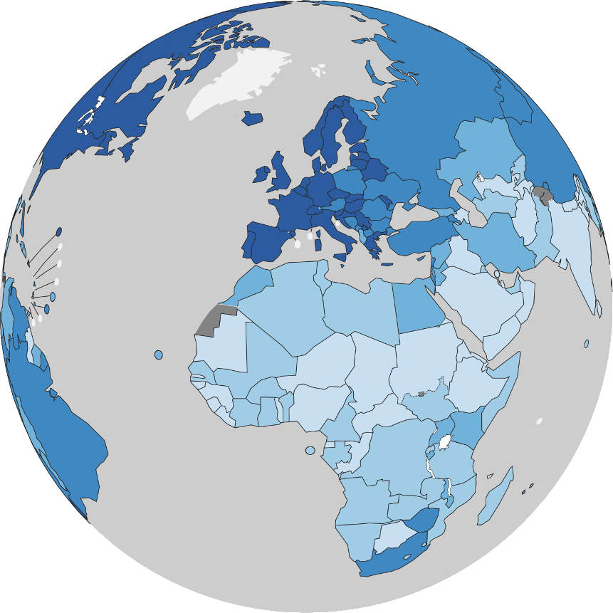
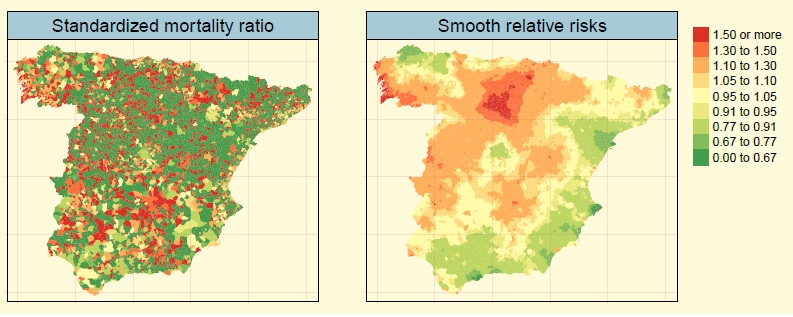
Development of both univariate and multivariate spatio-temporal models to estimate incidence and/or mortality risks of cancer and other chronic diseases, to highlight hotspots areas and clusters, and to discover geographical patterns of the disease. Additional applications include revealing spatio-temporal patterns of gender-based violence by regions in countries heavily plagued by this endemic problem such as India.
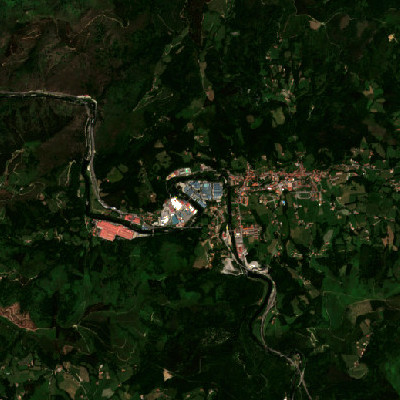
Use of statistical techniques for improving the quality of information derived from the satellite imagery, a source of a great and rich quantity of spatially and temporally correlated data. Embedding the spatio-temporal dependence in the analysis of satellite images allows for developing techniques not only to fill missing data or mitigate the presence of outliers, but also to estimate trends and provide predictions.

Investigation of data timeliness and its impact on decision-making in industrial processes. This research covers theoretical and applied studies on information freshness and data transmission in complex systems, with applications in improving predictive models through real-time and adaptive forecasting to enhance efficiency, reduce delays, and support data-driven industrial analytics.

Development of statistical and machine learning methods to ensure fair and reliable use of satellite imagery in spatial modelling and classification tasks, including detection and mitigation of bias in satellite image embeddings, design of fairness metrics for spatial contexts, and improvement of representations through preprocessing and pre-training strategies. Exploration of fair federated learning approaches for satellite image classification in distributed environments.
Welcome to the website of the research group of spatial statistics of the Public University of Navarra. On this page you can find information on the activities and publications of the group and other related information.
Spatial Statistics is a research group dedicated to develop methodology and solve problems in the field of applied statistics in a broad sense. Currently, our research is focus on the statistical modeling of spatial and spatio-temporal processes with environmental and biomedical applications.
Much of the work is motivated by practical problems, like analyzing the space-time evolution of cancer mortality risks to facilitate epidemiologists and public health researchers to find risk factors that could affect cancer mortality. Detecting regions with extreme mortality risks is also our aim, helping society to avoid health inequalities.
The group aims to exchange knowledge, generate new thinking and work helping to solve real problems in many fields. Collaboration with companies, other research groups, and public administrations has been our rule. Specifically, the Basque Country Statistical Institute has implemented small area estimation procedures developed by our group.


An R package to fit scalable Bayesian disease mapping models for high-dimensional data. Install from CRAN (stable version) or GitHub (development version)
Shiny application for the analysis of spatial and spatio-temporal count data: SSTCDapp. SSTCDapp
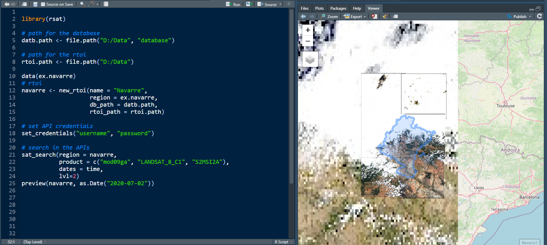
A great update of RGISTools for downloading, managing, processing, and smoothing time series of satellite images in a easier way. Install from GitHub Here
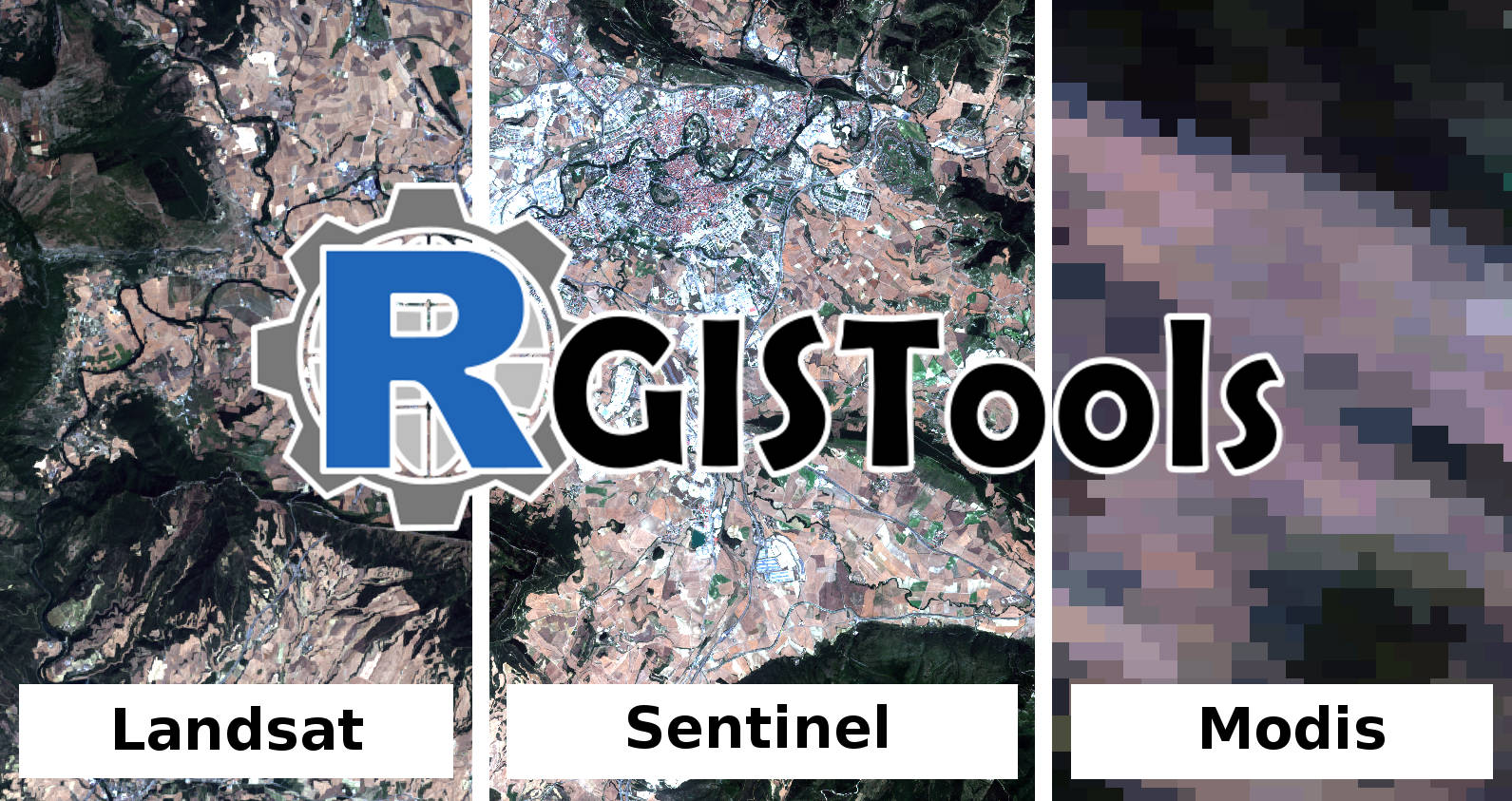
An R package for downloading, processing, and smoothing time series of satellite images from Landsat, MODIS and Sentinel satellite programs in a uniform and standardized way. Install from GitHub Here
Lola Ugarte
Department of Statistics, Computer Science, and Mathemathics
Campus de Arrosadia
31006, Pamplona
Navarra, Spain
group.spatialstatistics@unavarra.es